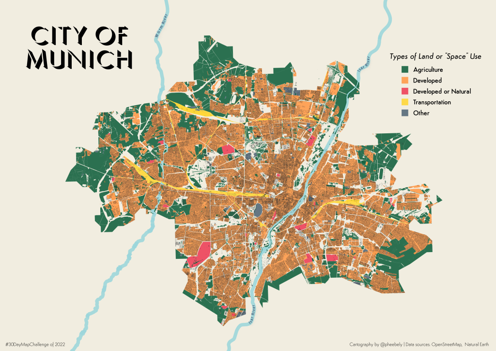
Instead of a map related to outer space, I decided to make a map of land use or “space” in the city of Munich. The colour palette was inspired by very cute logo on a package I received and I’m digging it!
Data source: Open Street Map (of course)
Tools: Overpass Turbo (for downloaded OSM data), qGIS