For my final 3D virtual landscapes course project, I had to create a 3D model of a small area in Dresden near the TUD campus. The 2D GIS modeling was completed in ArcGIS Pro using LoD2 buildings data from the Saxony geoportal. Once everything was processed and checked during the 2D GIS modeling phase, the data was converted to 3D format and meticulously modeled in Blender. All roofs, windows, doors, and auxiliary geometry were created in Blender. Finally, associative texturing and scene creation was completed. Each building took around 4 to 6 hours to complete. Many hours were put into this project and I am very glad with how it turned out!
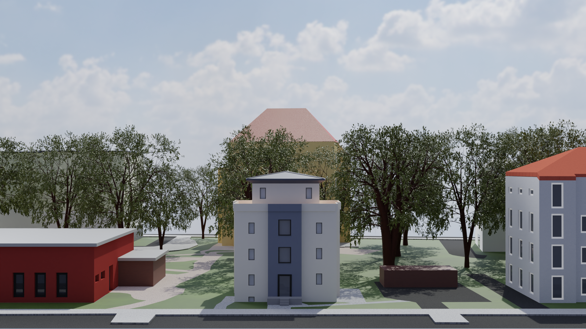
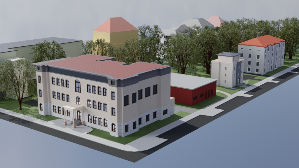
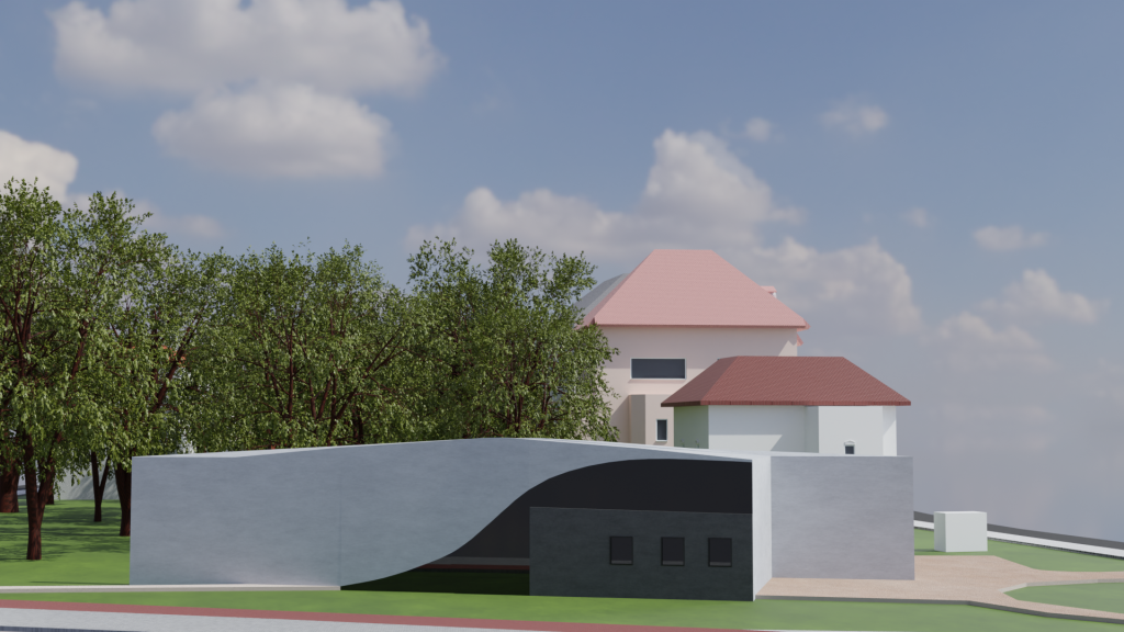
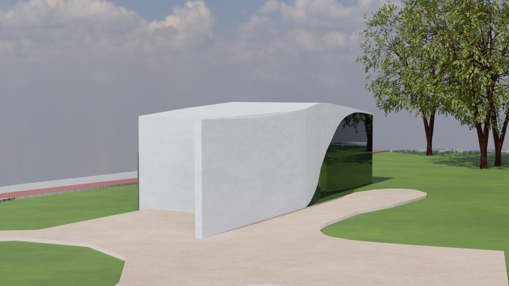
Below are the render results.


Tools used: ArcGIS Pro, Blender
Blender add-ons: Sapling Tree Green
Timeline: 1 month, February 2024
